Discover: Coastal erosion and the hidden history of Pembrokeshire
-
Date posted: 28/10/2025
-
Time to read: 4 mins
We take a look at how the forces of the ocean and new discoveries are uncovering the past of Pembrokeshire’s ever-shifting coastline.
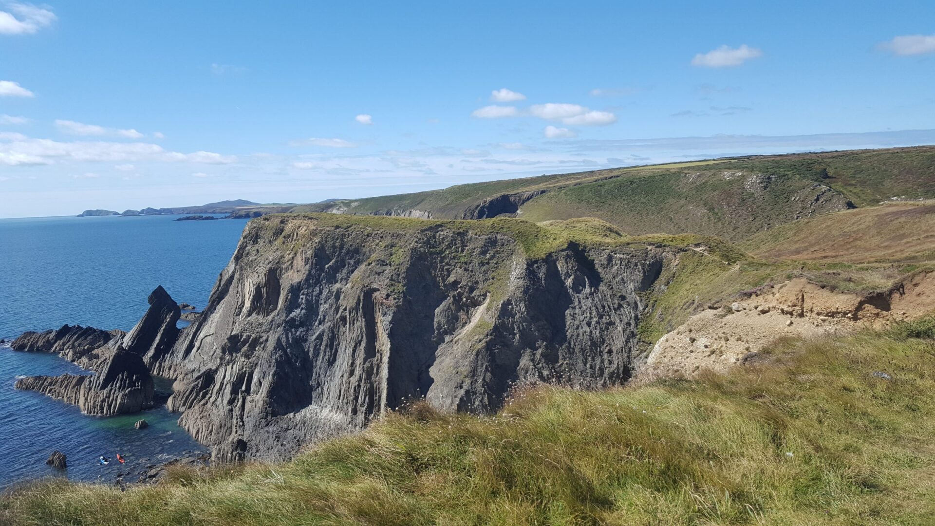
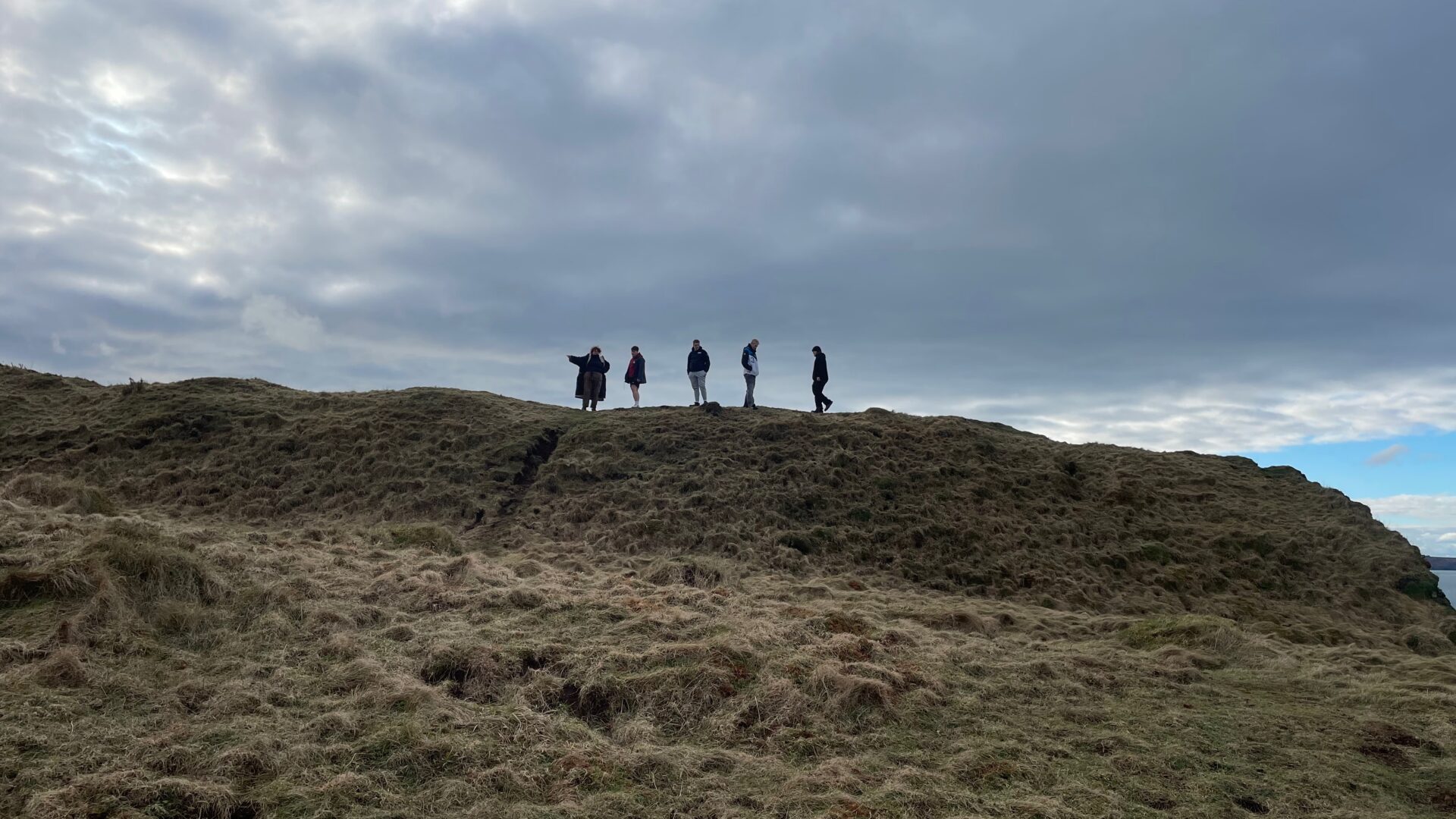
Along Pembrokeshire’s wild coastline, the same forces that shape its beauty are reshaping its history. Wind, tide and sea carve new stories into the cliffs, uncovering ancient chapels, forts and settlements while others slip quietly away. Every storm reveals something lost, something hidden, something new. This is a coastline in constant conversation with time, where discovery and disappearance go hand in hand.
Erosion and exposure
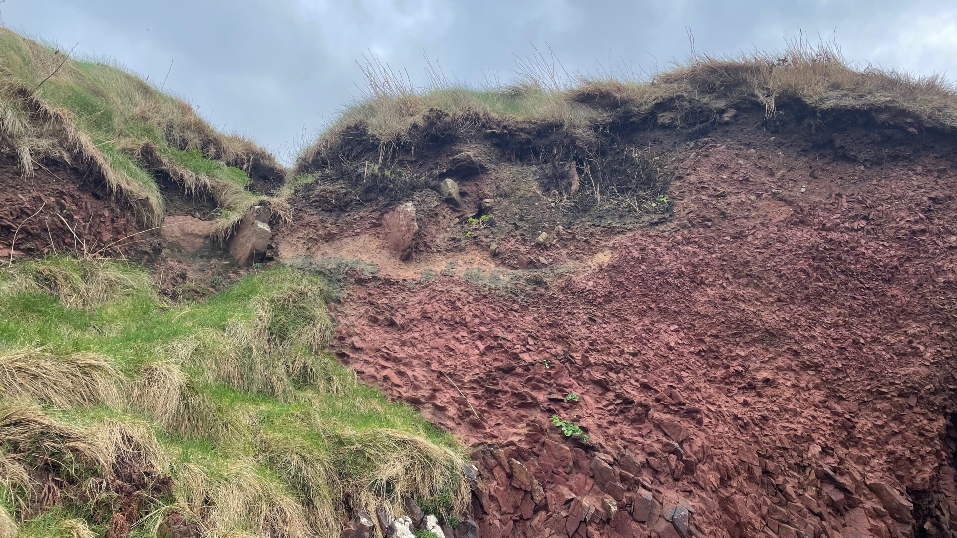
Pembrokeshire’s coastline is one of constant change, where each winter storm reshapes the edges of history.
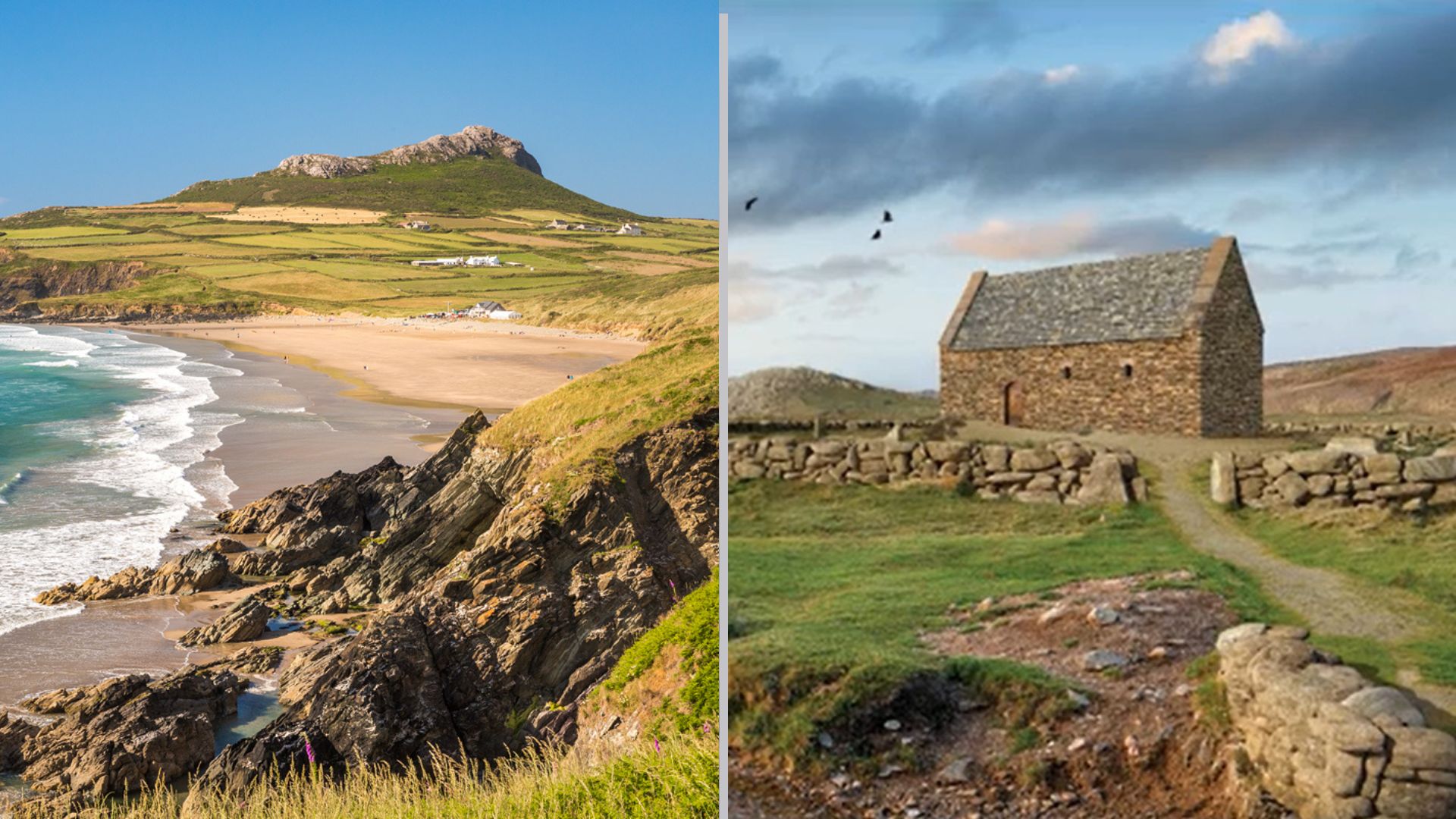
Nowhere is this more evident than at St Patrick’s Chapel above Whitesands Bay, an early Christian site dating back to the 6th century. Coastal erosion has destabilised the ground and exposed stone-lined graves, some still containing well-preserved skeletal remains. Emergency excavations have revealed centuries of activity, offering rare glimpses into early medieval life.
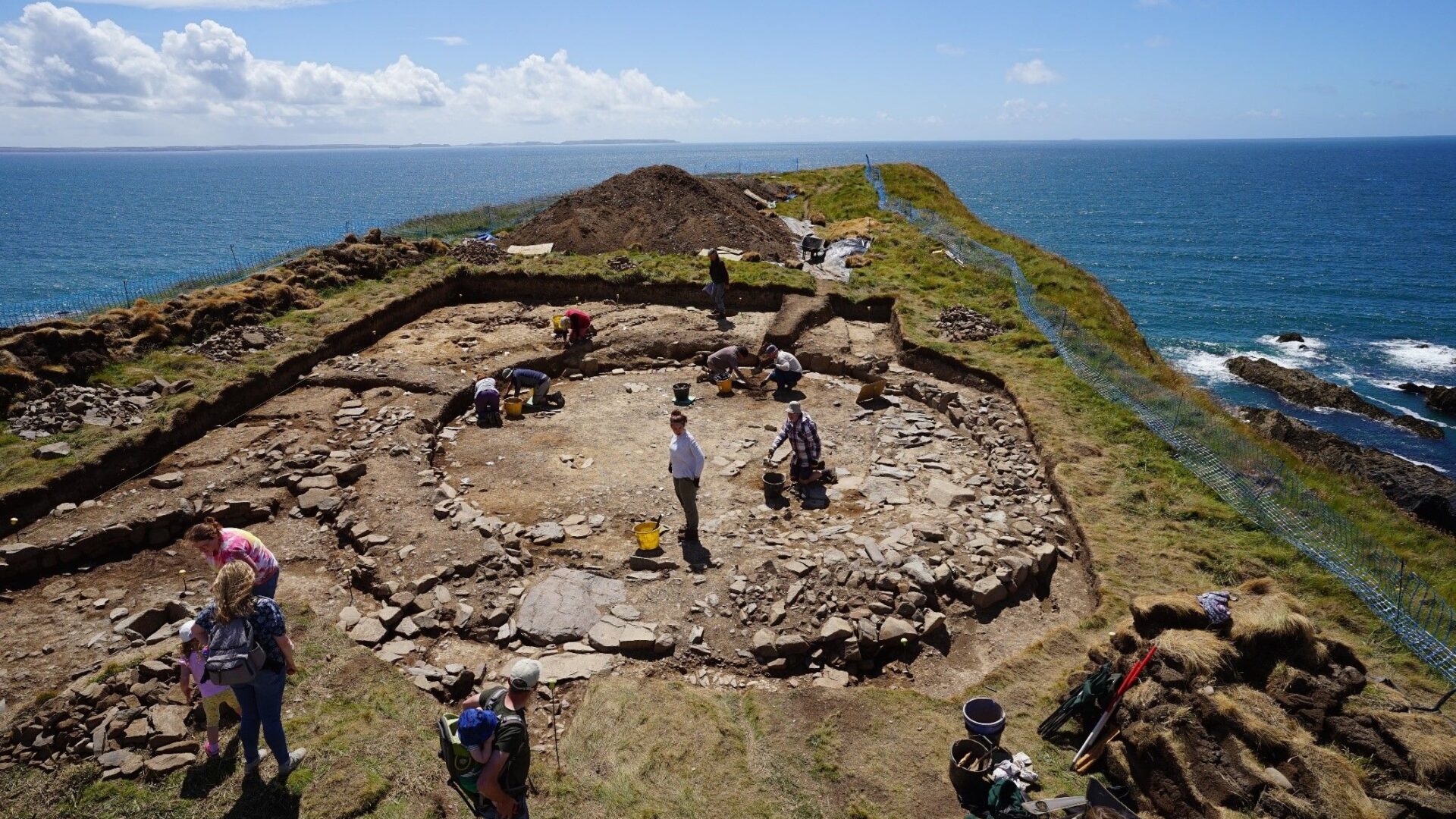
Further south near Solva, the Iron Age promontory fort at Porth y Rhaw clings to a narrow headland above St Brides Bay. Once protected by cliffs and earthworks, much of it has already been claimed by the sea. Archaeologists have uncovered roundhouse foundations, pottery and tools that hint at the lives of its inhabitants, but each storm takes a little more away.
Together, these places show both sides of coastal change – destruction and revelation, loss and discovery written into the same landscape.
Seeing the unseen
Not every discovery comes from the sea. Some are found from the sky. Across North Pembrokeshire, archaeologists are using LiDAR and high-resolution aerial photography to uncover traces of the past long hidden beneath woodland and scrub. Flying low over Strumble Head, aircraft scan the ground with lasers, producing 3D models that reveal subtle ridges, ditches and embankments – the ghost outlines of ancient field systems, hillforts and settlements invisible from the ground.
These surveys are transforming how the National Park’s heritage is recorded and protected. Each scan captures not just what exists now, but what may soon be lost. Volunteers help interpret the data and verify new finds, combining digital technology with local knowledge to map a landscape that is both ancient and ever-changing.
Inspiring the next generation
While technology helps uncover what the landscape hides, another strand of work is giving young people the chance to tell those stories themselves. The project Tough Decisions: Communicating Climate Risk and Heritage Loss, delivered with the Museum of London Archaeology (MOLA), brought together learners aged 16 – 20 to explore how rising seas are reshaping the coastline.
They visited sites including Caerfai, St Brides and West Angle, using drones and video to create short bilingual films that capture both the threat to Pembrokeshire’s heritage and their connection to place. Their work, to be shown at Archaeology Day 2025, shares the voices of a new generation who have seen first-hand what is at stake – and how the stories of the past can inspire action today.
Shaped by time and tide
From the exposed graves at St Patrick’s Chapel to the LiDAR traces of forgotten forts, Pembrokeshire’s coastline continues to reveal how people have lived and built along its shifting edge. Each new discovery, whether unearthed by erosion, mapped from the air or filmed by young storytellers, deepens our understanding of a landscape that never stands still.
This is a coast that rewrites its own history with every tide. What we find here is never just the past – it’s the story of our connection to it, still unfolding with the sea.